Reliability You Can Trust: With decades of proven experience, KCSI delivers consistent, dependable results to keep your operations running smoothly and your infrastructure secure.
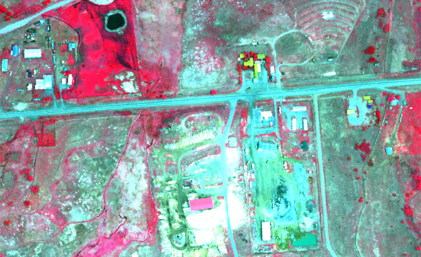
Cutting-Edge Technology: From LiDAR and hyperspectral imaging to methane detection and thermal mapping, we utilize the latest advancements to provide unparalleled insights and solutions.
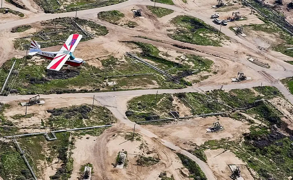
Skilled and Experienced Pilots: Our team of expert pilots brings a wealth of experience and precision to every mission, ensuring the highest safety and accuracy standards.
Commitment to Our Customers: KCSI adheres to all industry regulations and standards, giving you peace of mind that your operations are in full compliance and expertly managed.

